((I’m reposting a travel series from a couple of years ago. If you’re like me, you are patiently (or maybe not so patiently) waiting for a safe return to the road. If so, how about traveling along with me on a virtual road trip. To read about our Nova Scotia travels from the beginning, start here.)
When it comes to the Cabot Trail, the winding road that hugs the coastline in Cape Breton, much of it in Cape Breton Highlands National Park, words are a waste. Let’s just look at some pictures!


We crossed the Sydney River by way of the Seal Island Bridge (vantage point: atop Kelly’s Mountain) to reach the Cabot Trail.

Someday I want to go here to see if I can learn Gaelic. Really, I do.


The sky was angry and so was the sea! Can you see a bit of the white house hiding behind that huge spray of water in the lower right photo? (Click on individual photos for larger view.)


 A stand of birch, an Anglican church, and a workshop adorned with moose antlers

 Scenes from Neil’s Harbour (I believe).


 Meat Cove: much prettier than it sounds. You reach this beautiful spot after a very long (30 minutes or so) drive on a rutted dirt road (only to return the same way). Not much more than a campground (see the little cottages in the foreground of the bottom picture?), it’s worth the drive. They say that on a clear day you can see Newfoundland from this northernmost Nova Scotia community. We weren’t there on a clear day.
 Check out all those balancing rock cairns on the rocky beach far below us at Meat Cove.
 Why, yes, you can find sand on Nova Scotia’s beaches! (A wee bit, anyway.)
 Freshwater Lake, Ingonish Beach


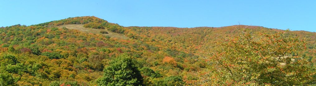
 Just some pretty Cabot Trail views, even on a rainy, foggy, hazy day
Stay tuned for more on Cape Breton’s Cabot Trail.
